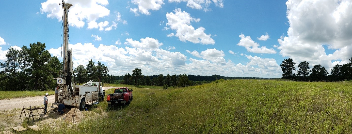
Much of Nebraska’s bedrock is buried under vast amounts of unconsolidated sediments that accumulated over hundreds of thousands of years. These sediments were deposited by wind, streams, lakes, and glaciers. The sedimentary strata underlying surficial sediments in Nebraska tells an even bigger story. Those sedimentary strata range in age from a few million to more than 500 million years and they provide an amazing record of ancient environments on land and in shallow epicontinental seas. Basement rocks as old as 2.5 billion years underlie Nebraska’s sedimentary cover at depths of several hundreds to several thousands of feet. CSD has systematically archived voluminous samples of surficial sediments, sedimentary rock cover, and even deep basement rocks.
Nebraska’s subsurface geology is best accessed and sampled through drilling. CSD geologists analyze samples obtained through mud rotary, auger, direct push and wireline to formulate a better understanding of Nebraska’s geological history, natural resources, and Earth’s processes.
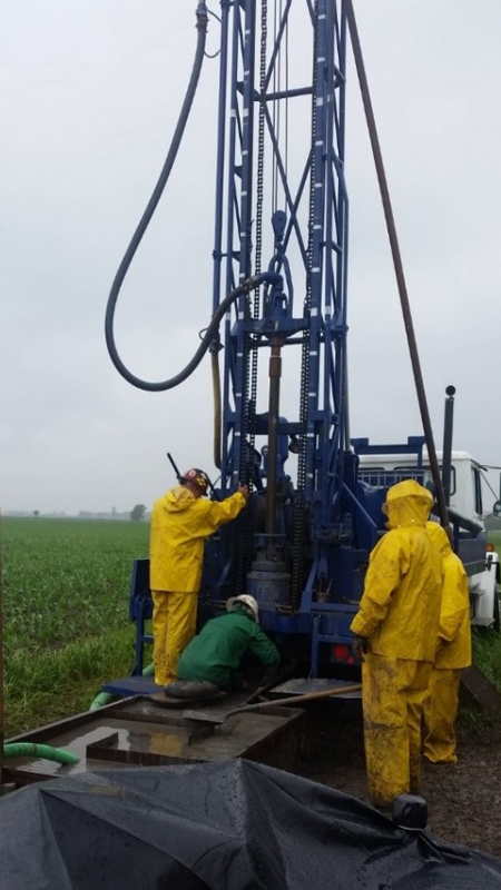
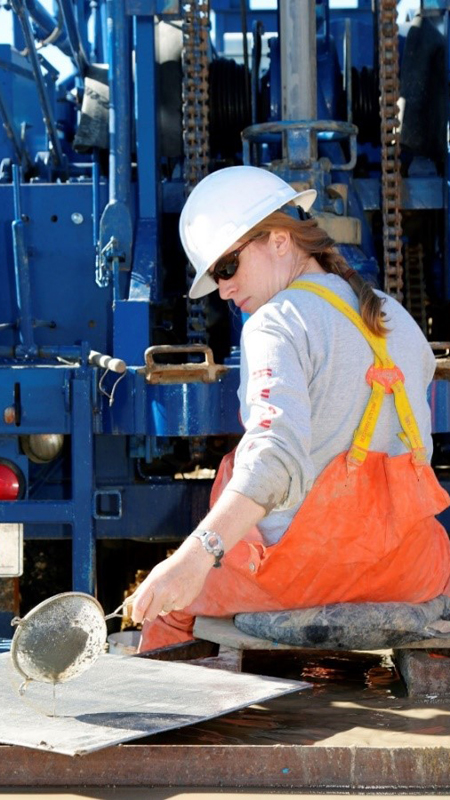
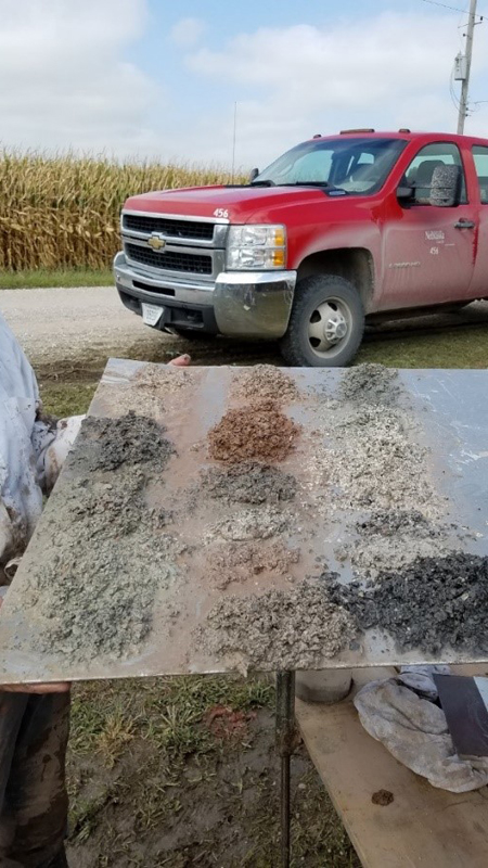
Whether geological samples consists of cuttings (mud rotary), core (auger, direct push, wireline), or unconsolidated material (all drilling methods), geological samples are visually inspected and logged by a geologist as material is removed from the ground.
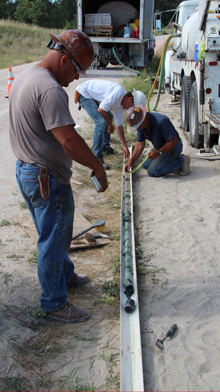
Geologist use hand lenses, microscopes, charts, and measuring tools to further inspect samples. Any recognizable changes in sample material are noted. The color of sample material is determined using standardized Munsell soil-color charts. Calcium carbonate content is assessed through the application of dilute hydrochloric acid (HCl). Photographs are often taken of samples in order to record the often unique colors, fossils, and other physical characteristics of geological samples that have not seen the light of day or been exposed to the atmosphere for millions of years.
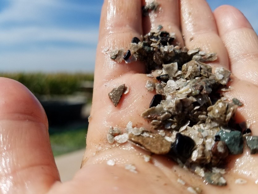
Geological samples are described in detail and recorded following CSD standardized criteria:
- Primary lithology (physical characteristics indicating type of rock/geological material)
- Secondary lithology
- Grain size, sorting, and roundness
- Color
- Composition
- Calcium carbonate content
- Diagenetics features
- Sedimentary structures
- Porosity
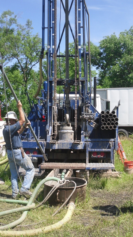
If present, water levels are recorded. After drilling a test hole, a geophysical logging probe is lowered into the fluid-filled borehole to obtain continuous real-time data as well as record the geophysical properties of the substrata. This information provides a geologist with additional data pertaining to the lithology and aquifer characteristics.
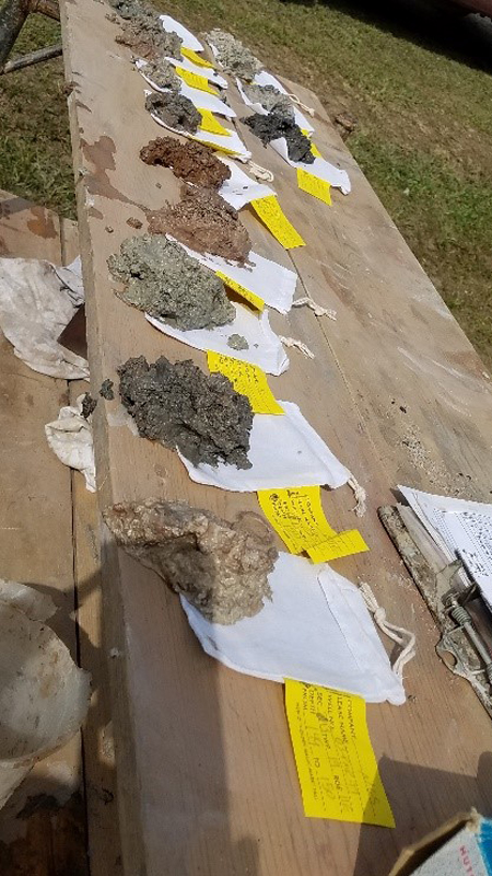
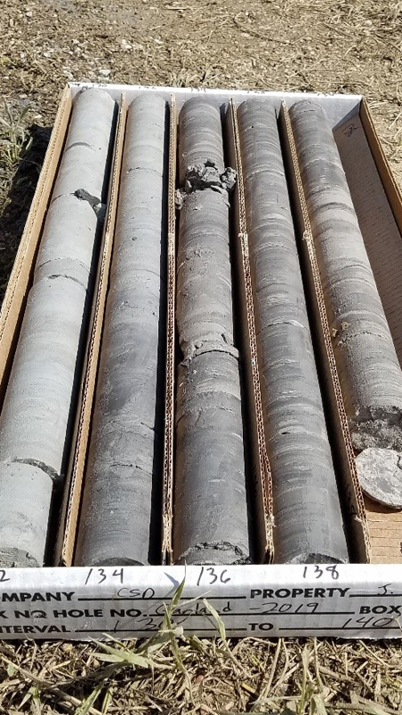
All geological samples are either bagged (cuttings, unconsolidated) or boxed (core) and labeled with unique identifiers including:
- Borehole number
- Project name
- Location (Section, Township, Range, Coordinates)
- Intervals depths
- Box number of set
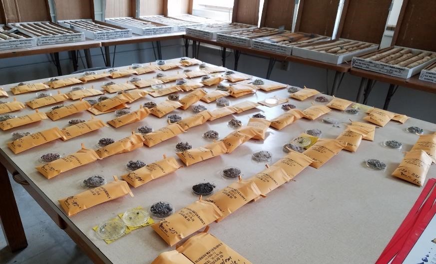
Samples are brought back from the field and air dried. The geological samples are then further analyzed in the laboratory and geological interpretations are finalized. Cuttings are processed at the CSD Geological Sample Prep and Analysis Lab where they are curated in paper envelopes, labeled, and boxed. Logs, cores, cuttings and other geological samples are curated at the CSD Geological Sample Repository in compliance with Nebraska Revised Statute § 85-163 and are preserved for project reference and future research.