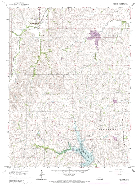
Nebraska Elevation Data
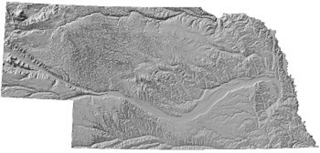
The Conservation and Survey Division no longer distributes elevation data.
Another source for this data would be the Natural Resources Conservation Service (NRCS) Data Gateway at https://datagateway.nrcs.usda.gov/GDGHome.aspx.