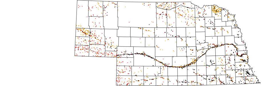
Active Mineral Operations
Prepared from the CSD mineral inventory data base. Features include: several dozen items about each operation, including mineral production by years, and cumulative totals. The location is derived from the legal description, using an approximation to the nearest 10 acres. There are about 1,800 records.
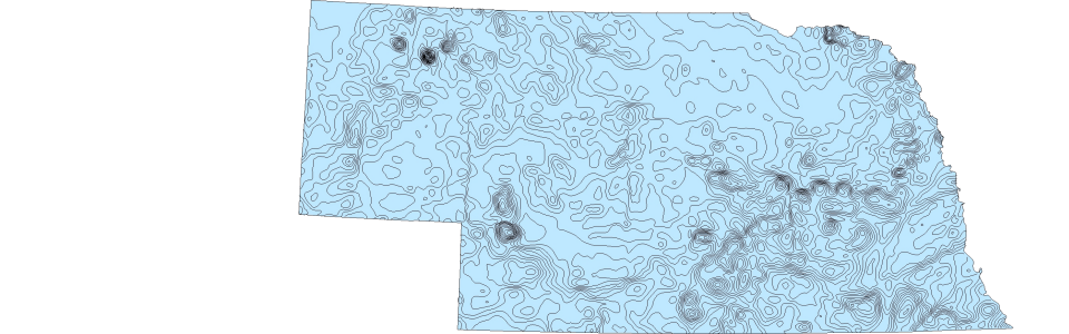
Aeromagnetics
Mineral exploration activities included measuring variations in local magnetic field using aerial surveys. Data was examined, generalized and mapped by CDS geologists. Digitized from a CSD 1985 published map.
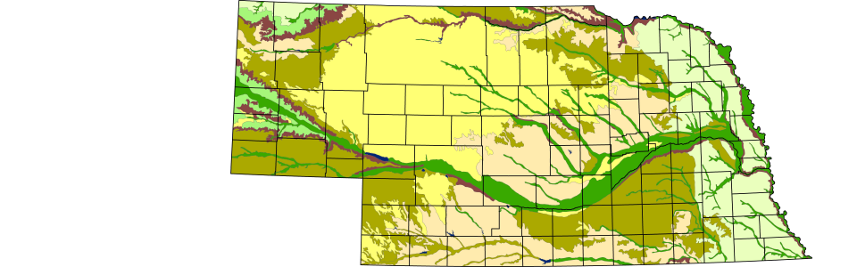
Bedrock Geology
A digitized version of the bedrock geology of Nebraska. Primary source is a 1:250,000 series of geologic bedrock maps for eastern and southern Nebraska. Published in the early 1970s, a large portion of the area has been superseded, but not published. The remainder of the state has been published at 1:1,000,000 in 1986, but current mapping is being done on the surface geology, rather than bedrock geology. Updates are planned on a county by county basis.
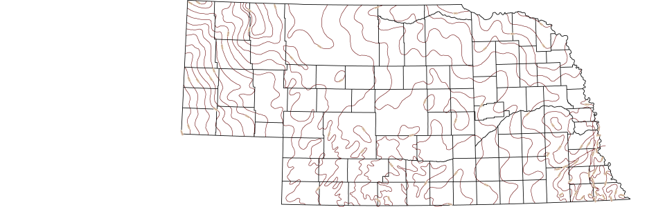
Bouguer Gravity
Mineral exploration activities included measuring gravity variations using the Bouguer scale. These values were mapped by CSD geologists from a series of data sites, roughly one per township, for eastern and southern Nebraska. Data for the Panhandle and Sand Hills was collected by USGS using a four KM aerial survey. Digitized from a CSD 1982 published map.
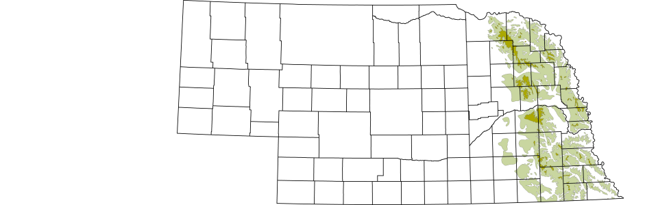
Till
Digitized from CSD maps by the USGS.
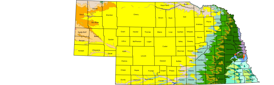
Topographic Regions
Digitized from a 1:1,000,000 CSD map.
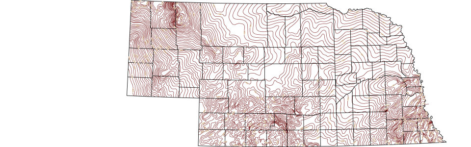
Configuration of Precambrian Rocks in Nebraska
The Configuration of Precambrian bedrock across Nebraska has been interpreted by CSD geologists using data from deep well oil and gas exploration wells, and other sources. The tops of the various sedimentary rock formations were picked by CSD geologists for more than 19,000 deep wells. When the drillers hits metamorphic rock, that was interpreted as the precambrian rocks of extreme age. Digitized from CSD Maps.
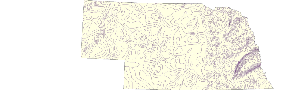
Depth to Precambrian Rocks in Nebraska
The depth of the precambrian rock across Nebraska has been interpreted by CSD geologists using data from deep well oil and gas exploration wells, and other sources. The down-hole depths of the various sedimentary rock formations were picked by CSD geologists for more than 19,000 deep wells. When the drillers hit metamorphic rock, that was interpreted as the precambrian rocks of extreme age. Digitized from CSD Maps.