-
CSD Interactive Data Map
-
CSD Interactive Data Map
-
CSD Interactive Data Map
-
CSD Interactive Data Map
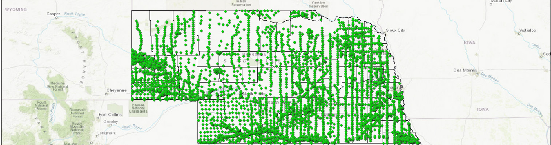
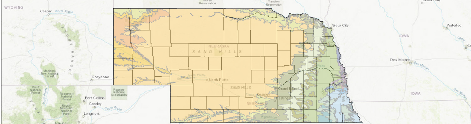
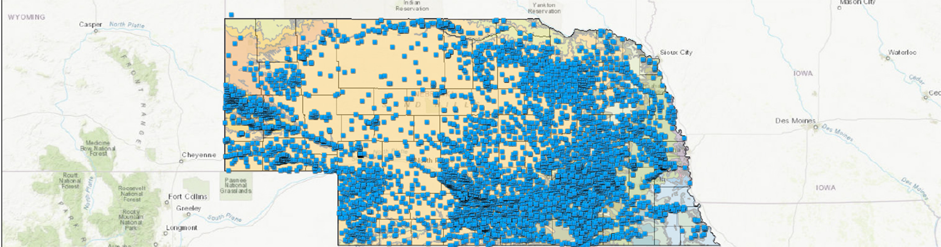
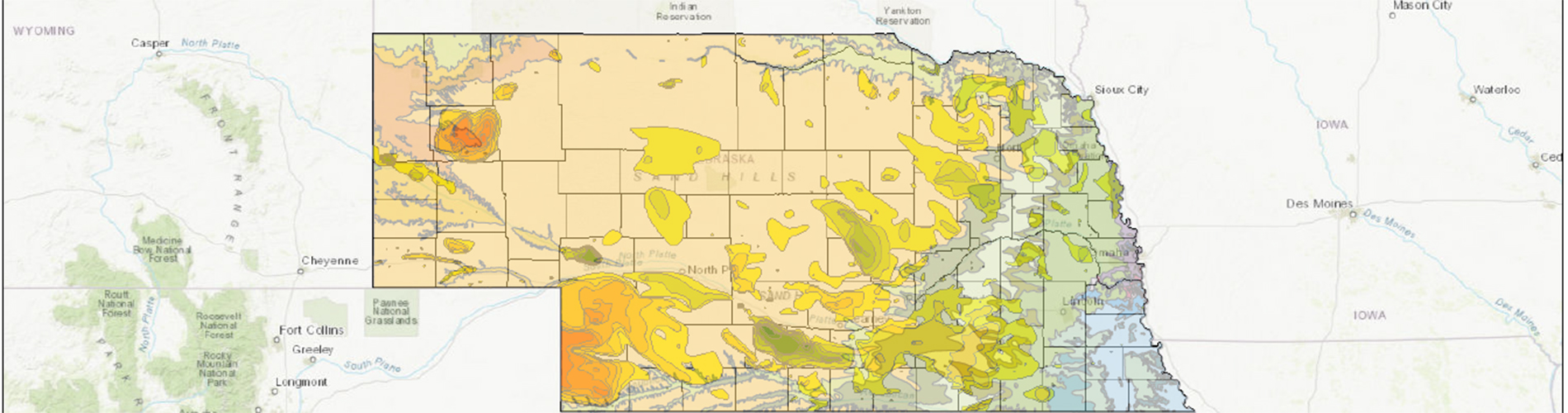
The CSD Interactive Data Map is a simple online Geographic Information System that allows the user to overlay various data sets to aid in decision making and answer basic questions regarding Nebraska’s Natural Resources and Geology. Currently, the following layers are available: AEM flight lines, aquifer outlines, groundwater levels, groundwater level changes, test hole data, registered wells and basic geologic maps. Other CSD datasets will be added to the map as they become available.
Contacts