Featured Data Product
The U.S. Drought Monitor

The U.S. Drought Monitor tracks drought conditions across the United States.
Game Birds of the World

A collection of game birds from around the world that are housed in Hardin Hall. An online catalog is available.
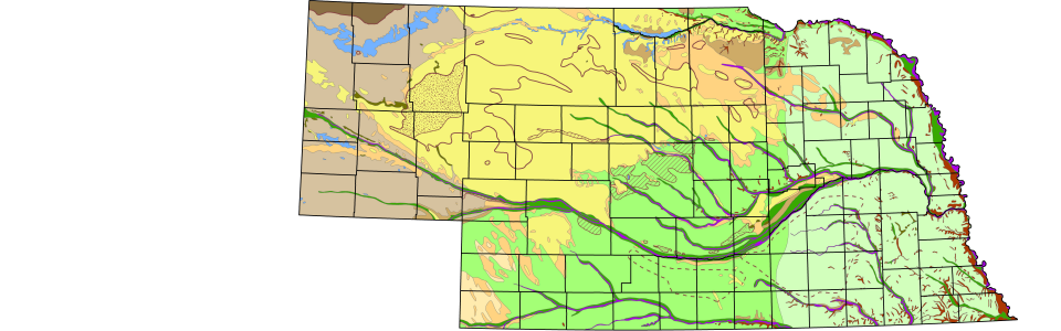
Nebraska Geologic Maps (STATEMAP)
The STATEMAP program is responsible for mapping the geologic features of Nebraska.
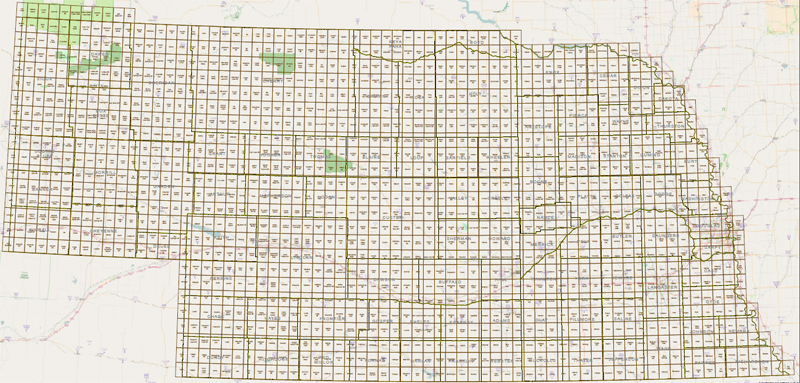
Nebraska GIS Data
The School hosts several natural resource related GIS datasets which cover the entire state of Nebraska.
Nebraska Real-Time Groundwater Montoring Network
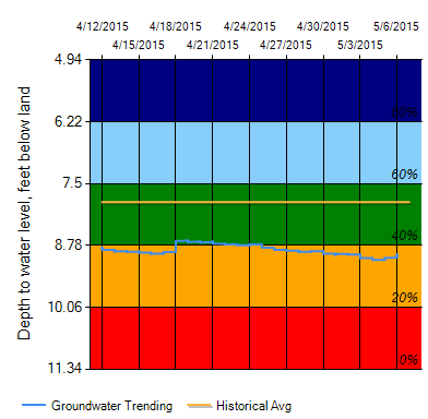
The Nebraska Real-Time Groundwater Montoring Network program collects groundwater-level information from a network of 58 automated observation wells.
CSD Interactive Data Map
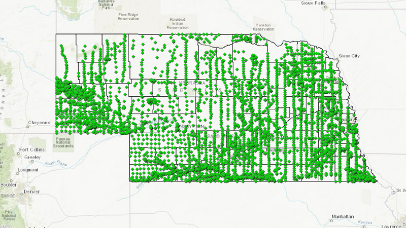
Interactive GIS map allows a user to display layers of Groundwater, Geological Bedrock, Testholes and eventually more.