Posted: 9/18/2020
Drilling for water in Nebraska? New Conservation and Survey Division product provides need-to-know data on one website
Suppose that you are considering buying land outside of Broken Bow, Nebraska. One of the first things you want to confirm is if you can access water there. You want to site a well. The information was out there to do that, but it wasn't particularly convenient. One website provided the data on test wells, featuring layer by layer information about the composition of the soil you'd have to dig through to reach water. Another offered depth-to-water information. Another provided locations of test holes that have been drilled across the state.
Now, all of that information and more is located on a single website developed by the Conservation and Survey Division at the University of Nebraska-Lincoln School of Natural Resources. The CSD Ground Water and Geology Data Portal is online at go.unl.edu/csdinteractivemap.
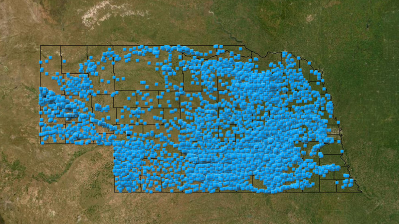
Geologist Aaron Young developed the data portal, and said it is designed to overlay different layers of information to make informed decisions on accessing water in Nebraska. The site allows users to search the state for active, inactive, decommissioned and additional types of wells registered with the Nebraska Department of Natural Resources. Users can also search for information on test holes drilled by CSD. Clicking on a test hole icon links users to a trove of information, from the year it was drilled to the types of geologic materials that were encountered and the proper names of the different layers of sediment and rock.
A test hole located southeast of Broken Bow drilled in 1966, for instance, includes 39 notes about the changes in composition — sand to silt to sandstone and on and on — for the 600.5-foot deep test hole.
"Clicking on that dot, I know all the information that's under my feet, down to 600 feet," Young said.
Along with specific information about test holes and registered wells in an area, users can also access data on active water level layers to learn how deep they need to drill to access groundwater in the general vicinity. Users can also see how water levels have changed beneath Nebraska over the course of nearly 100 years. The water level measurement program began in the 1920s, Young said, and the first test holes were drilled in the 1930s.
"We're coming up on almost a hundred years of data here, and being able to put all of this data together to look at it in this format is huge, "Young said. " Most states have similar information to this, but very few, if any, have it set up to show this amount of information all in one spot. The data portal takes all of these separate datasets that are really useful when put together, but in the past were archived in different places and lacking in coherent organization. The new data portal enables the user to interactively combine all these datasets to solve the problem or answer a question. There's a wealth of information here now, and the CSD intends to add more data to the portal as it becomes available. "
Young has produced a set of tutorials for users that provide an overview of the product, as well as a step-by-step process that shows how to search for individual records and locations.
"Our stakeholders have, no doubt, patiently waited for this signal improvement in our ability to transmit important geological data, and it took a highly dedicated individual to finally see it through. Aaron's vision, initiative, and yeoman work have culminated in nothing less than a quantum leap in the execution of CSD's legally mandated mission. He has finally brought our data delivery into the 21st century and his efforts will serve the University and its stakeholders very well for many years, " said Matt Joeckel, State Geologist and Director of the Conservation and Survey Division.