Overview
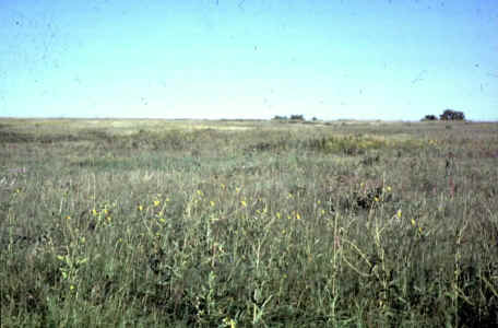
Madigan Prairie was donated to the Foundation in 1978. It consists of 23 acres of 'virgin' tallgrass prairie, never grazed or plowed. The prairie is bounded on the south by a pond and forest, and on the east by forest. Adjacent to the southeast corner of Madigan Prairie is Red Cedar Recreation Area, managed by the Lower Platte South Natural Resources District. Current management practices at Madigan include regular mowing. Within these conditions, the reserve appears to have maintained native flora characteristic of pre-European occupation of the region.
Location
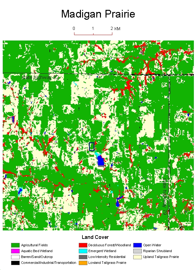
Madigan Prairie is located in Saunders Co, between Valparaiso & Weston. Madigan is 1 m east of the Butler Co. line, 2 mi south of Route 92. Legal description: Eastern 23 acres of S 1/2 of NW quadrant of Sec. 20, T 14 N, R 5 E Map
Mission
Madigan Prairie was donated to the University of Nebraska Foundation for the purposes of research and education.
Institutional Affiliation
University of Nebraska-Lincoln, School of Biological Sciences
Research
Seed collection is done periodically by the Prairie Plains Research Institute. Research is highly encouraged. Because annual haying is the routine, projects that are inconsistent with haying should contact the management committee with sufficient lead time to suspend haying.
Education
Individuals or groups wishing to visit Madigan Prairie for educational or research purposes should contact the Natural Areas Committee at the University of Nebraska.
Contacts
Natural Areas Committee
Department of Biological Sciences
University of Nebraska Lincoln, Nebraska
68588-0118
Aerial Photographs

Land Use (GAP) Classification