Will Fraundorfer, Graduate Student
Jesse Korus, Faculty Advisor
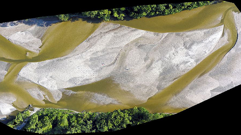
Drone imagery was used to monitor changes in stream geomorphology over time. This image represents one snapshot in a time series of images taken during the summer of 2017 on the Loup River near Genoa, Nebraska. This research project investigated processes responsible for hydraulic conductivity transience in sandy rivers.
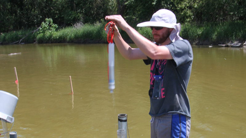
Will Fraundorfer, a master's student in the School of Natural Resources, removes a bailer from a well installed in the Loup River’s streambed. Will is measuring the hydraulic conductivity of the streambed using a technique known as a slug test. Hydraulic conductivity refers to the ease with which water moves through porous materials.
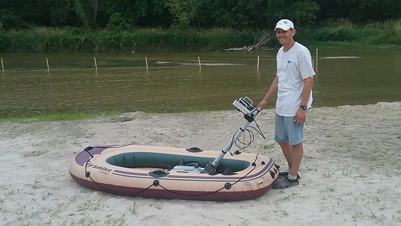
Jesse Korus, assistant professor in the School of Natural Resources, prepares to perform a Ground Penetrating Radar (GPR) survey on the Loup River. GPR can be used to image structures underground to learn about a location’s geology. In the right environments, GPR can be a useful tool for hydrologists.
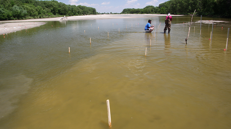
Robert Clark and Alexa Davis, undergraduates in the School of Natural Resources, perform a falling head permeameter test in the Loup River. Permeameters are a simple way to quickly measure the hydraulic conductivity of streambed sediments. In this image, you can also see some of the grid that measurements were made on during this study.
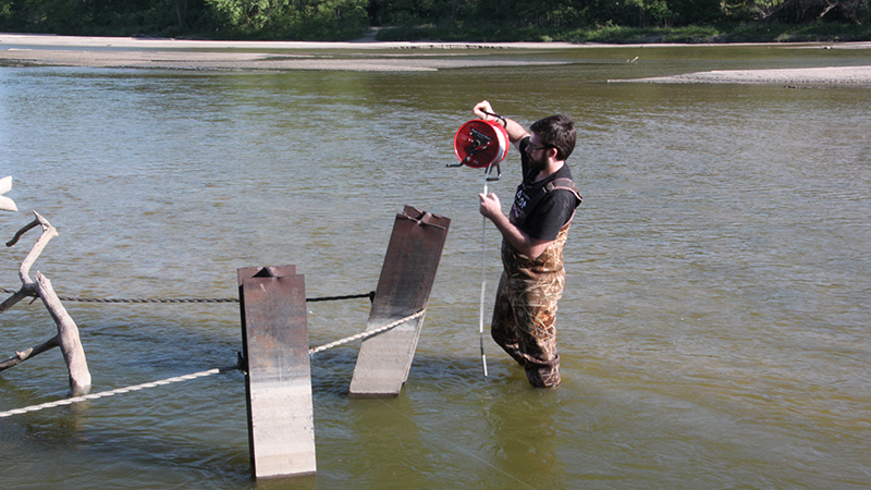
Robert Clark measures the water level on the Loup River. Relative changes in water level, also called stream stage, were monitored during data collection. Stream stage can be used to estimate the volume of water flowing down a river per unit time.