Spatial Science
We use spatial technologies, such as satellites and geographic information systems, to study and understand complex environmental and societal issues and the spatial patterns and processes that underlie them. Our science allows us to work toward solutions to problems, such as climate change, resource allocation and food security.
Projects
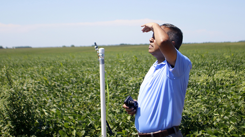
High Plains Regional Climate Center
Collaborator(s): Rezaul Mahmood, Crystal Stiles, Natalie Umphlett, William (Bill) Sorensen
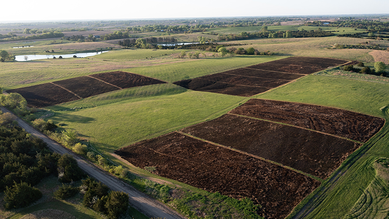
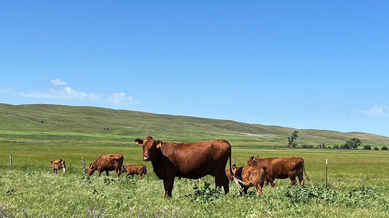
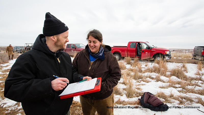
Invisible effects of prairie management practices
Collaborator(s): Ran Wang, John Gamon, Dave Wedin,